Getting here
Getting to 7 Staghorn Avenue, and getting around after
Times from Google Maps on 16 November 2026, published figures from the airport, the hotel and Wikipedia's timetable table. Every route opens in Google Maps.
The map
QT Gold Coast is at 7 Staghorn Avenue, Surfers Paradise QLD 4217. The map below is the hotel's own Google Maps card; it shows the pin just off Staghorn Avenue between the Gold Coast Highway and the Esplanade.
QT Gold Coast, 7 Staghorn Ave, Surfers Paradise QLD 4217Open in Google MapsDirections
From the airports
- Gold Coast Airport (OOL) by car or taxi
29.6 km via State Route 3, about 40 minutes in evening traffic when we checked. The airport's transport page puts Surfers about 30 minutes away by car. The taxi rank is at the southern end near International Arrivals, and rideshare pick-up is outside Domestic Arrivals. Route in Google Maps - Gold Coast Airport by bus and tram
The airport lists Route 777, an express bus to Burleigh Heads that connects with the G:link. Since August 2026 the L1 runs from Burleigh Heads all the way north through Surfers, so you can stay on the tram to Cypress Avenue. Check translink.com.au or 13 12 30 for times. Route in Google Maps - Brisbane Airport (BNE)
The hotel publishes nothing on this route. Wikipedia notes that Varsity Lakes line trains continue from Roma Street onto the Brisbane Airport line, so a train from the airport can take you to Helensvale for the tram. Let Google Maps plan it for your time of day. Route in Google Maps
A note on numbers: QT's venues page says "55 mins from Gold Coast Airport" without naming the mode. The airport says about 30 minutes by car. Google Maps gave us 40. All three can be true on different days; plan for the longest.
From Brisbane by train
The T5 Varsity Lakes line runs from Brisbane's Roma Street to Varsity Lakes and meets the G:link at Helensvale station (Wikipedia). Change there to the L1 tram southbound. From Helensvale, Google Maps gave us 35 minutes to QT: the tram to Cypress Avenue and a four-minute walk.
- Helensvale station to QT
35 minutes by L1 plus a short walk; 24 minutes by car. Route in Google Maps
The L1 tram
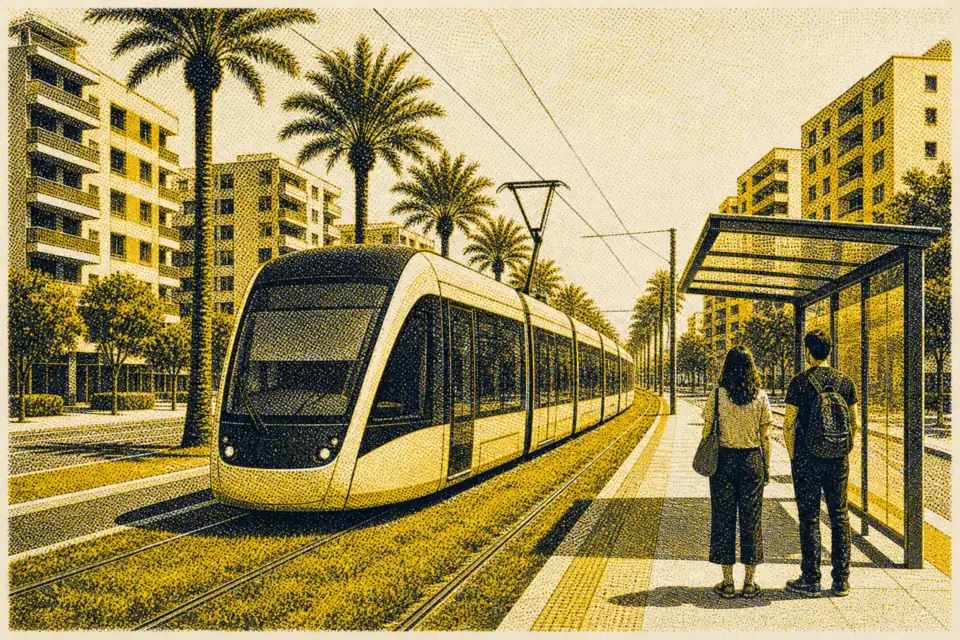
G:link's L1 line runs 27 kilometres between Helensvale and Burleigh Heads with 27 stations, and Translink charges a 50-cent flat fare across all zones (Wikipedia, citing Translink). The two stops nearest QT are Cypress Avenue and Surfers Paradise North, both about 200 metres from the hotel's map pin in a straight line by our OpenStreetMap check. Cavill Avenue station is about 750 metres south.
| To | Minutes | Why you'd go |
|---|---|---|
| Main Beach | about 5 (northbound) | The northern beaches and the way to The Spit |
| Cavill Avenue | about 3 | The mall and the centre |
| Broadbeach North | about 11 | The Star Gold Coast |
| Broadbeach South | about 14 | Pacific Fair shopping |
| Nobby Beach | about 21 | A quieter beach strip |
| Burleigh Heads | about 31 | The headland national park |
| Helensvale | about 31 (northbound) | Trains to Brisbane |
Service frequency from 9 August 2026: every 7.5 minutes Monday to Thursday and every 10 minutes Friday to Sunday between 7am and 7pm; every 15 minutes early morning and in the evening until 11:30pm; every 30 minutes overnight Friday to Sunday. On weeknights from midnight to 5am, bus route 700 replaces most of the tram line.
By car, and parking
QT lists undercover and valet parking on site with fees, and EV charging stations on level B1. We could not find QT's parking rates on its own pages, so we do not print the figures third-party booking sites show; ask the hotel or include the question in your request. Diners at Bazaar get up to four hours free. The hotel also offers electric bikes for hire through the concierge.
- QT to Burleigh Head National Park
52 minutes by L1 tram from Cypress Avenue; 29 minutes by car. Route in Google Maps - QT to Cavill Avenue on foot
850 metres, 12 minutes via Surfers Paradise Boulevard, the same 12 minutes the hotel quotes. Route in Google Maps